Introduction
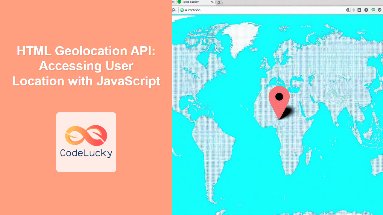
Have you ever wondered how websites can ask for your location and use it to provide personalized experiences? The HTML Geolocation API makes this possible, allowing web developers to access a user's geographical location with their permission. This powerful API opens doors to various applications, from mapping services to location-based games and local search results. However, using this API responsibly is paramount, as it deals with sensitive user information. This article will guide you through the fundamentals of the Geolocation API, its practical usage, and best practices for handling user data. We'll delve into how to request a user's location, interpret the results, and address common challenges, equipping you with the knowledge to effectively implement geolocation in your web projects.
The Geolocation API is a built-in browser feature, meaning you don't need external libraries to use it. This makes it a streamlined and efficient way to access location data. Understanding how it works is crucial for any developer looking to add location-aware features to their web applications. By mastering this API, you can create more engaging and relevant experiences for your users, but always ensure to do it with the utmost respect for their privacy. We will explore the correct method to use this API to make sure your applications are both practical and ethical. Let's dive in!
How the Geolocation API Works
The Geolocation API is surprisingly simple in its fundamental structure, although the underlying processes of determining user location are complex and varied. It uses a combination of technologies such as GPS, Wi-Fi, and IP addresses to determine a user's geographical coordinates. Here’s a breakdown of its core functions:
Requesting Location Access
The key to using the Geolocation API is the navigator.geolocation object, which provides methods to interact with the user's location service. The main function you will use is getCurrentPosition(). This function takes three optional arguments:
successCallback: This function is executed when the user's location is successfully retrieved. It receives aGeolocationPositionobject containing the coordinates and timestamp.errorCallback: This function is executed if there is an error retrieving the location. It receives aGeolocationPositionErrorobject which includes error details.options: An object that allows you to specify options such asenableHighAccuracyto enable the use of more accurate location methods (like GPS) that may take longer, or atimeoutperiod.
Here's an example structure:
navigator.geolocation.getCurrentPosition(successCallback, errorCallback, options);
Understanding the GeolocationPosition Object
When the successCallback is executed, it receives a GeolocationPosition object. This object has the following properties:
coords: An object containing geographical coordinates:latitude: Latitude in decimal degrees.longitude: Longitude in decimal degrees.accuracy: Accuracy of the coordinates in meters.altitude(Optional): Altitude in meters.altitudeAccuracy(Optional): Accuracy of altitude in meters.heading(Optional): Direction of travel in degrees.speed(Optional): Speed of device in meters per second.
timestamp: The time when the location was retrieved in milliseconds since the Unix epoch.
Error Handling
If there is an error in getting the user's location, the errorCallback is executed with a GeolocationPositionError object. This object includes:
code: A numerical code representing the type of error:1: PERMISSION_DENIED: The user denied the request for location permission.2: POSITION_UNAVAILABLE: The location information is unavailable.3: TIMEOUT: The operation timed out.
message: A human-readable string describing the error.
Privacy Considerations
It's crucial to handle user location data responsibly. Here are some important considerations:
- Always ask for permission: Never access the location without the user's explicit consent.
- Inform the user: Clearly explain why you need their location data and what you will use it for.
- Handle errors gracefully: Provide clear feedback to the user when location access fails.
- Minimize data storage: Don't store location data longer than necessary, and when storing, do it securely.
Practical Examples
Here’s a simple example showcasing the practical use of the Geolocation API:
<!DOCTYPE html>
<html>
<head>
    <title>Geolocation Example</title>
</head>
<body>

    <h1>Get User Location</h1>
    <button onclick="getLocation()">Get My Location</button>
    <div id="locationOutput"></div>

    <script>
        function getLocation() {
            if (navigator.geolocation) {
                navigator.geolocation.getCurrentPosition(showPosition, showError, {enableHighAccuracy: true, timeout: 10000});
            } else {
                document.getElementById("locationOutput").innerHTML = "Geolocation is not supported by this browser.";
            }
        }

        function showPosition(position) {
            let output = "Latitude: " + position.coords.latitude + "<br>";
            output += "Longitude: " + position.coords.longitude + "<br>";
            output += "Accuracy: " + position.coords.accuracy + " meters";
            document.getElementById("locationOutput").innerHTML = output;
        }

        function showError(error) {
            let errorOutput = "Error: ";
            switch(error.code) {
                case error.PERMISSION_DENIED:
                    errorOutput += "User denied the request for Geolocation.";
                    break;
                case error.POSITION_UNAVAILABLE:
                    errorOutput += "Location information is unavailable.";
                    break;
                case error.TIMEOUT:
                    errorOutput += "The request to get user location timed out.";
                    break;
                default:
                    errorOutput += "An unknown error occurred.";
                    break;
            }
            document.getElementById("locationOutput").innerHTML = errorOutput;
        }
    </script>

</body>
</html>
This example provides a button, that on click triggers the getLocation javascript function, which handles the geolocation and outputs the response to the user.
Real-World Application: Map Integration
Let's see how you could integrate a map using the location information. We will use a simplified approach that includes generating an embed link to a map provider. Note that for a fully interactive map, you would typically use a dedicated map library like Leaflet or Google Maps API, which are beyond the scope of this core HTML API explanation.
<!DOCTYPE html>
<html>
<head>
    <title>Geolocation with Map Link</title>
</head>
<body>

    <h1>Get User Location and Map</h1>
    <button onclick="getMap()">Get My Location and Map</button>
    <div id="locationOutput"></div>
    <div id="mapOutput"></div>

    <script>
        function getMap() {
            if (navigator.geolocation) {
                navigator.geolocation.getCurrentPosition(showMap, showError, {enableHighAccuracy: true, timeout: 10000});
            } else {
                document.getElementById("locationOutput").innerHTML = "Geolocation is not supported by this browser.";
            }
        }

        function showMap(position) {
           let output = "Latitude: " + position.coords.latitude + "<br>";
           output += "Longitude: " + position.coords.longitude + "<br>";
           output += "Accuracy: " + position.coords.accuracy + " meters";
           document.getElementById("locationOutput").innerHTML = output;


           // Creating a simple map link, could use other services like google maps.
            const mapLink = `https://www.openstreetmap.org/?mlat=${position.coords.latitude}&mlon=${position.coords.longitude}#map=15/${position.coords.latitude}/${position.coords.longitude}`;

            const mapOutput = `<a href="${mapLink}" target="_blank">View on Map</a>`;
            document.getElementById("mapOutput").innerHTML = mapOutput;

        }

        function showError(error) {
            let errorOutput = "Error: ";
            switch(error.code) {
                case error.PERMISSION_DENIED:
                    errorOutput += "User denied the request for Geolocation.";
                    break;
                case error.POSITION_UNAVAILABLE:
                    errorOutput += "Location information is unavailable.";
                    break;
                case error.TIMEOUT:
                    errorOutput += "The request to get user location timed out.";
                    break;
                default:
                    errorOutput += "An unknown error occurred.";
                    break;
            }
            document.getElementById("locationOutput").innerHTML = errorOutput;
        }
    </script>
</body>
</html>
This example provides a button that retrieves the user's location and generates a link to OpenStreetMap with that location.
Visualizing the Geolocation Process
Here's a diagram illustrating how the Geolocation API works:
Best Practices and Tips
To make the best use of the Geolocation API, keep the following guidelines in mind:
- Always check for support: Verify
navigator.geolocationexists before calling it to avoid errors in browsers that don’t support it. - Use
enableHighAccuracywith caution: High accuracy methods can drain battery life. Use it only when you require highly accurate location information. - Set appropriate timeout: Use the
timeoutoption to avoid indefinite waiting for a location and improve the user experience. - Handle permission gracefully: Provide fallback functionality if the user denies location access. Make it clear what functionality they might be missing without it.
- Test on different devices: Ensure your implementation works correctly across various browsers and devices.
- Consider the user experience: Avoid aggressive location requests. Only ask when it's needed and explain why the information is required.
- Security Considerations:
- Use HTTPS: For security reasons, the Geolocation API is only available to secure contexts (HTTPS). Ensure your website uses HTTPS.
- Data Storage: Store location data carefully and avoid retaining sensitive information unless absolutely necessary and compliant with applicable data protection regulations.
- User Experience:
- Provide a good user experience by giving immediate feedback after the user grants permission (or doesn't), rather than having them wait for longer without knowing what the application is doing.
Conclusion
The HTML Geolocation API is a powerful tool for enhancing web applications with location-aware features. By understanding its core functionalities, error handling, and privacy considerations, you can use it effectively and responsibly. Always prioritize user privacy, handle errors gracefully, and test your implementations thoroughly across different devices. Remember, with great power comes great responsibility: use the Geolocation API ethically and transparently to improve user experience without compromising user data security.

